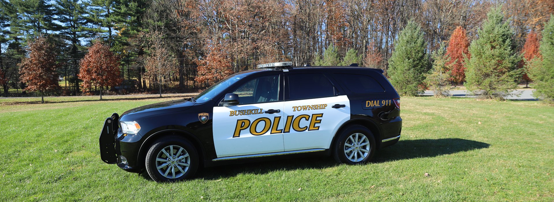
Bushkill Township News
http://frcauthority.org/acceptable_unacceptable_items.pdf
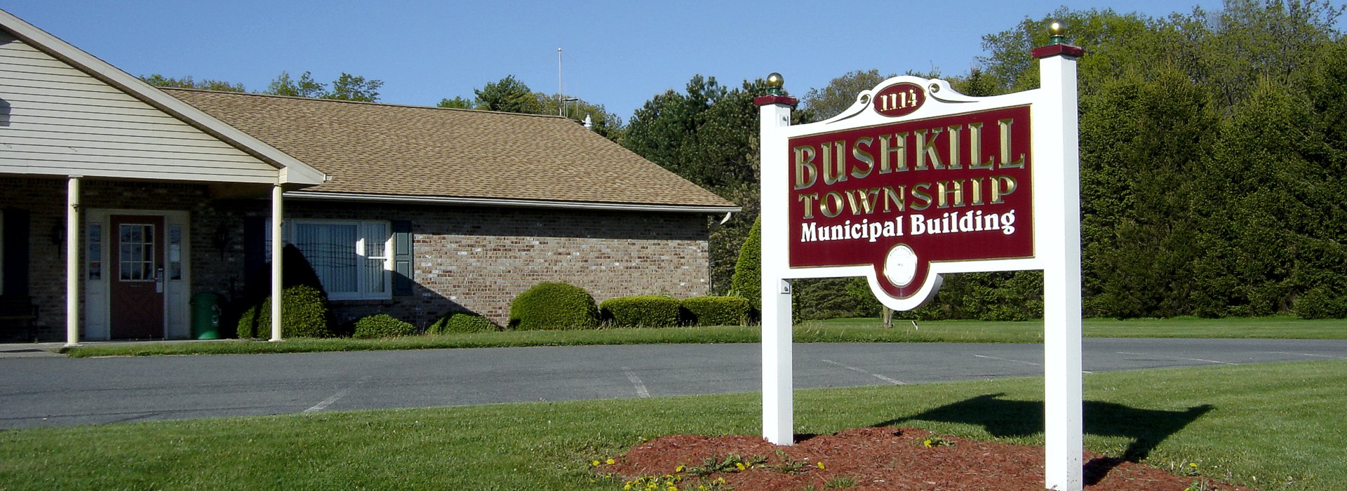
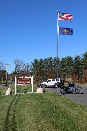
Welcome To Bushkill Township
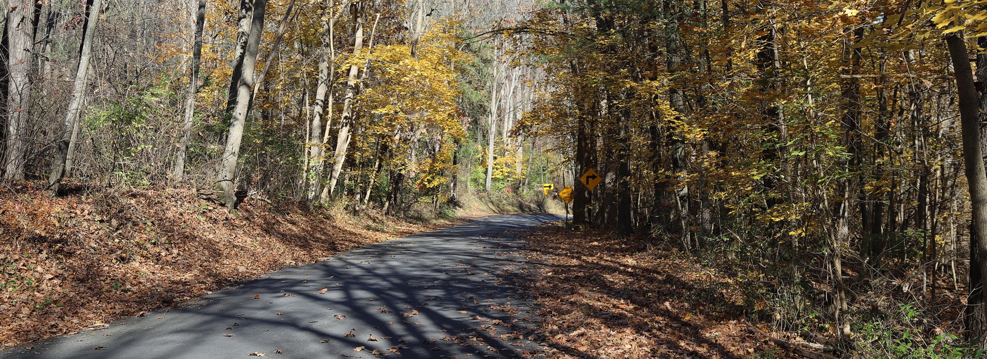
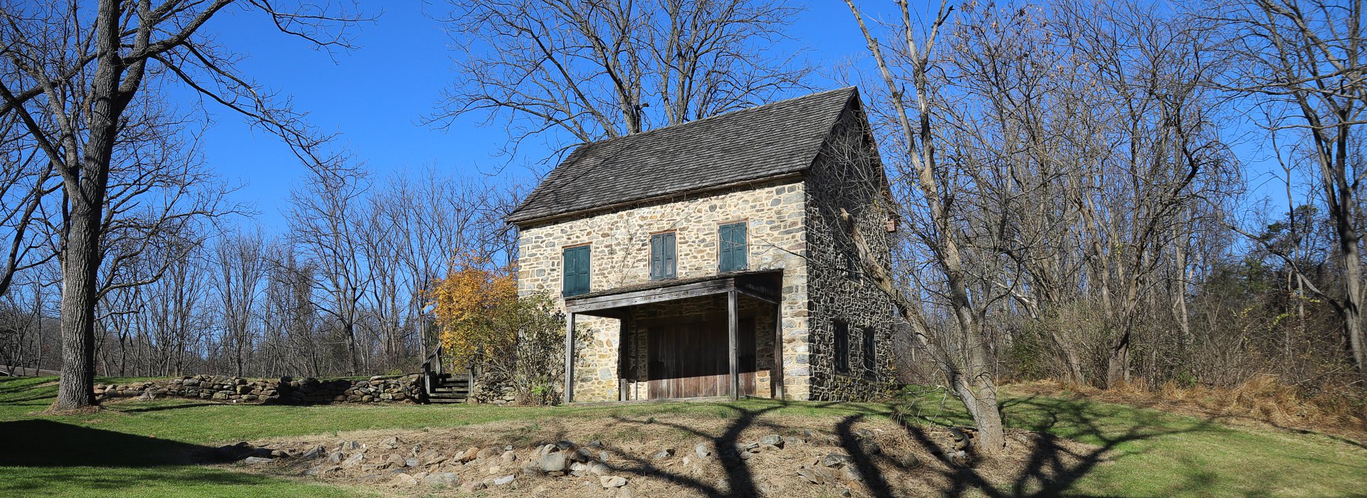
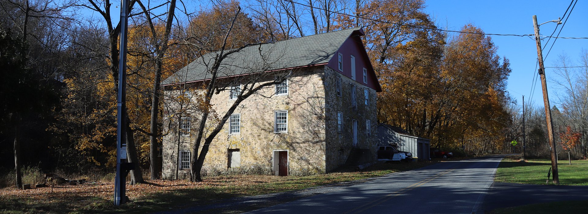
 Bushkill Township is located in northcentral Northampton County. Until formation on August 13, 1813, the land area of Bushkill Township was part of its parent municipality, Plainfield Township. Before that time, the area of Bushkill Township was often referred to as "The Plains." On the north the Township is bordered by the Blue Mountain and Monroe County, with the Appalachian Trail running all along the summit of Blue Mountain. Plainfield Township and the Borough of Wind Gap border in the northeast, with Plainfield Township extending along the east to the Borough of Stockertown at the southeastern corner. The lengthy western border is with Moore Township, and the shorter southern border is with Upper Nazareth Township, just north of the Borough of Nazareth. The Township is approximately 25 square miles and has over 55 miles of municipal roadways.
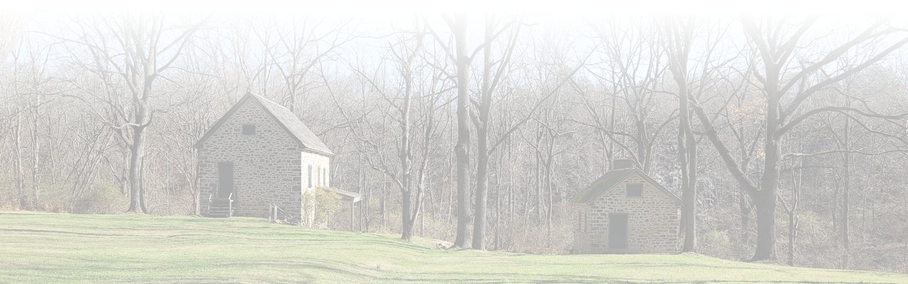
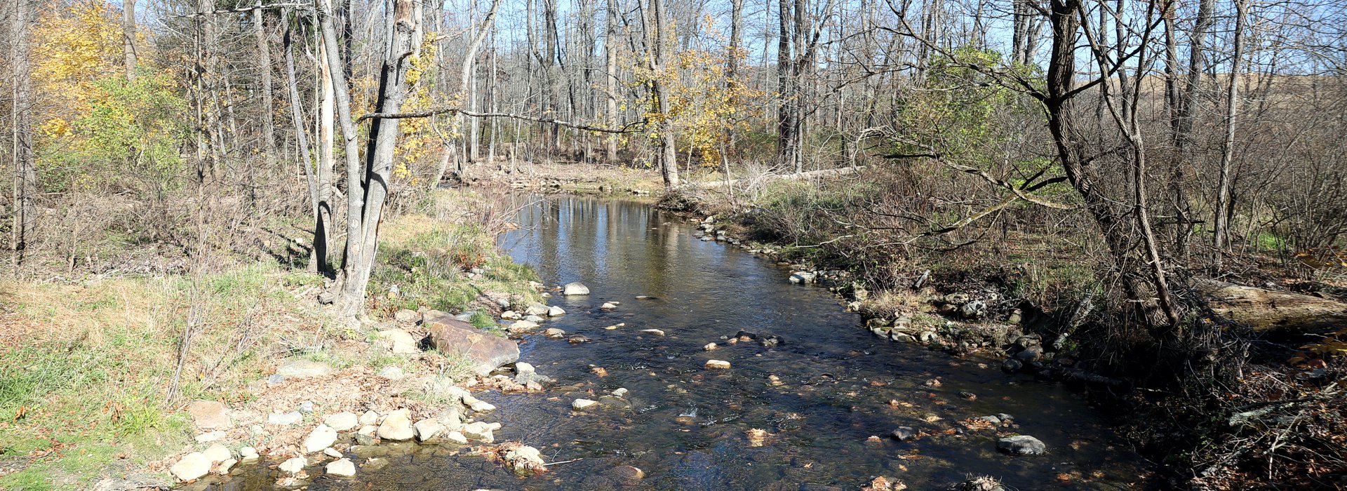
Bushkill Creek, a High Quality-Cold Water Fishery, bisects the Township from the northwest to the southeast, and was once the source of power for numerous mills found within the Township and downstream. Sobers Run, an Exceptional Value stream, is entirely within Bushkill Township and was an important source of water for farms and mills along its course to the Bushkill Creek. Both streams support native and wild reproducing trout populations, and both exhibit beautiful wooded greenways, which in recent years have become a focal point for land preservation within the Township. Many greenway areas now contain public trails and select properties have been opened for public fishing; all accomplished through the Township's Open Space Program and various funding partners. (more info)